Running between north Rochester and a small state park, the Lake Ontario State Parkway is an ugly, underused mess. Reimagining it as a local street and bike path would transform it into a valued neighborhood asset and regional attraction.
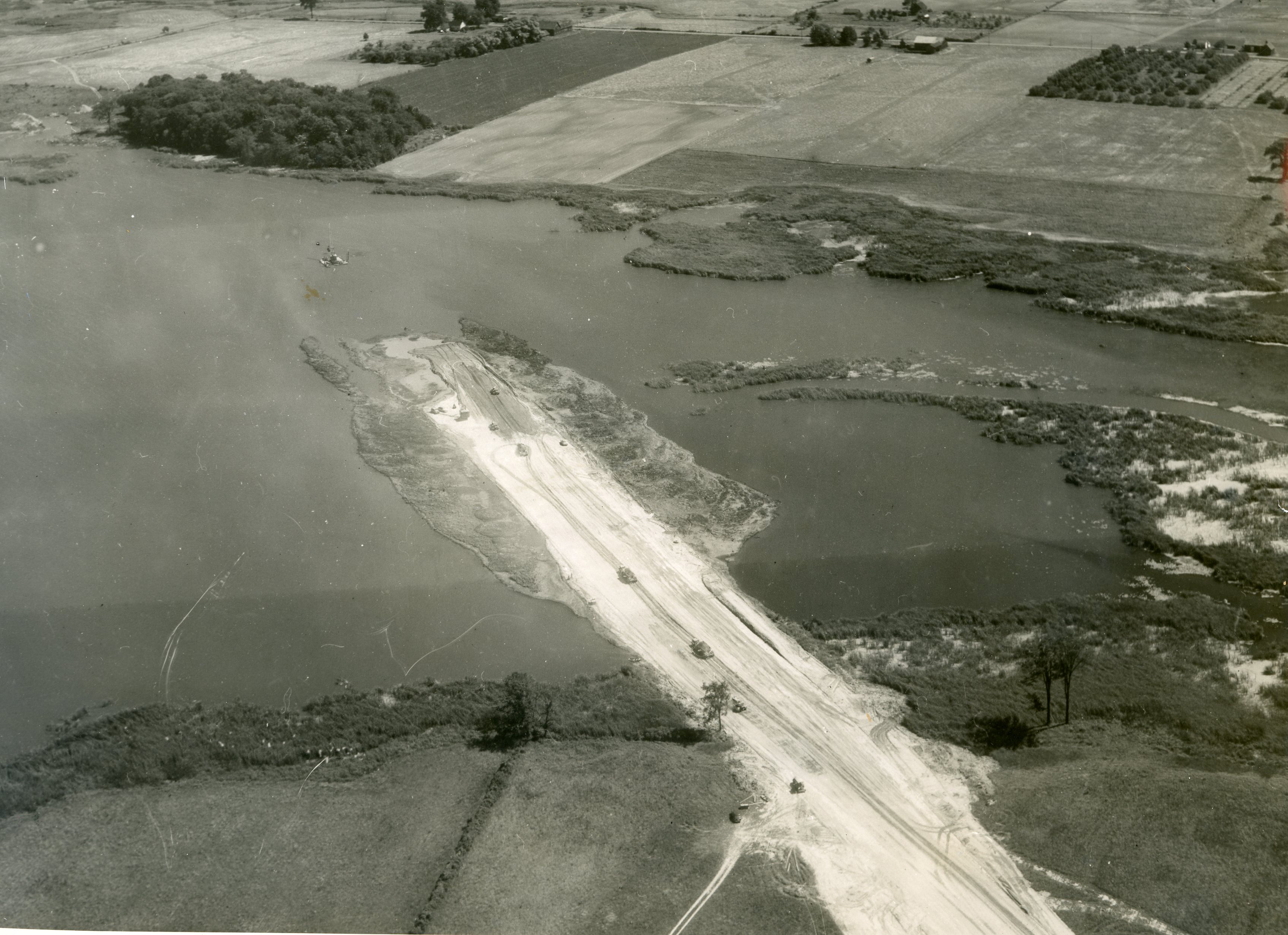 |
| Lake Ontario State Parkway under construction (source) |
Background
Best known for blasting highways through the New York City region, Robert Moses also constructed several highways in western New York. In early 1941, he convinced the state government to appropriate funding for several highways upstate. He announced plans for the Lake Ontario State Parkway in 1944 and construction began in the late 1940’s. An initial segment opened in the early 1950s, connecting Hamlin Beach State Park to Manitou Beach and by the early 1960s, reached north Rochester. Another segment extended it west from Hamlin Beach Lakeside State Park in the early 1970s. Regional highway plans called for an extension to the Robert Moses Parkway in Youngstown, creating a route to Niagara Falls, but funding never materialized. In the 1950's, an extension was proposed to extend east to Irondequoit Bay to Route 104 through Durand Eastman Park but local opposition and rising land values kiboshed it. For the section that was built, the traffic and suburban development that followed his downstate highways never arrived.
 |
| 1971 map shows Lake Ontario State Parkway along north edge connecting to Robert Moses Parkway |
Today, the four-lane highway carries a laughably low number of drivers. The western most 2.5 mile segment is only open during the summer and has grass growing between the concrete roadway slabs. A mere 732 drivers per day use that four-lane section compared to the 30,000+ carried by four-lane section of Route 390 in Greece. The eastern sections carry more traffic but still well within the capacity of a two-lane street, topping out at 15,200 drivers per day between Manitou Rd and Long Pond Rd. Maintenance has suffered too as the gaps between the concrete slabs have grown large enough for grass to grow and potholes go unfilled.
 |
| Lake Ontario State Parkway outlined in pink |
Despite being unable to drive himself, Robert Moses was well-known for his low regard for people who did not drive and as with many of his highways, this parkway has only 2.7 miles of trail for people who walk or bike. In 1979, people bicycling were allowed to use the Parkway's wide shoulders although two people biking were struck and killed by drivers in 1997 and 1998 and the shoulder width was reduced when portions were repaved. Only the strong and fearless riders, 1% of potential cyclists, would be comfortable using parkway in its current condition.
A highway reimagined
For decades, maintenance issues have prompted conversations about what should be done with the parkway. In 2021, the Genesee Transportation Council, the Metropolitan Planning Organization for the Rochester region, published a study for the western 12-mile section. In addition to a no build alternative, Concept 2 proposed closing the western most 2.4 mile segment completely to drivers. Concept 3 proposed converting the two eastbound lanes into a two-way highway for the same 2.4 mile segment. Concept 4 was the most ambitious, proposing to convert all 12-miles into a two-lane highway with a parallel trail. The study includes a few public comments and a handful of survey respondents. Future surveys should aim to obtain feedback from a more representative swath of the population.
While a combination of Concepts 2 and 4 hold promise, the entire parkway should be reimagined as it would provide greater benefits to more people. The western most 2.5 mile segment should be opened up exclusively as a trail. For 30-mile segment from Point Breeze Rd to Route 390 in Greece, the westbound travel lanes should be opened up to people walking and bicycling as a trail. The eastbound travel lanes would become a two-lane, local street. All told, the Lake Ontario Trail would be 32 miles long, connecting two state parks, seven local parks, several wildlife preserves and two other trails.
 |
| Example of two westbound travel lanes becoming a trail |
In sections where there is little separation between trail and road, half of the former roadway should be replaced with trees. Much of the highway lacks trees so adding them would improve the trail by providing shade and a barrier from traffic.
A key concern per public input was to preserve the parkway's role as a highway that provides fast access to the Rochester suburbs. Keeping two travel lanes would address that concern and build local support. Eight interchanges would be reconfigured for two-way traffic.
 |
| Example of two westbound lanes becoming a trail with two travel lanes retained |
This configuration would reduce noise as drivers will be less likely to speed and for homes close to the lakeshore, the traffic itself would move further away. Reducing the 55 mph speed limit to 45 mph would only add about six minutes to trips from the western terminus at Point Breeze and a 35 mph limit would add just seven additional minutes to those trips. Since most trips occur closer to Rochester, the lower speed limit would increase travel times by much smaller amounts for most drivers, maybe one to two minutes at most.
 |
| Parkway segment along Lake Ontario in Kendall |
 |
| Bike path occupying former Robert Moses Parkway in Niagara Falls |
 |
| Bike path in former southbound travel lanes of Robert Moses Parkway in Niagara Falls |
In addition to connecting to other trails in Rochester, it could connect to the future Somerset Rail Trail that is proposed between Lockport and Olcott via low-stress country roads such as Lakeshore Rd. Combined with the Erie Canalway Trail, these trails will create a 132-mile loop trail route for bicycle tourism.
Communities along the Lake Ontario State Parkway should seize the opportunity to transform it from a deteriorating, unproductive eyesore into a true park, complete with a bike path and scenic roadway.